Government and Funding Agency
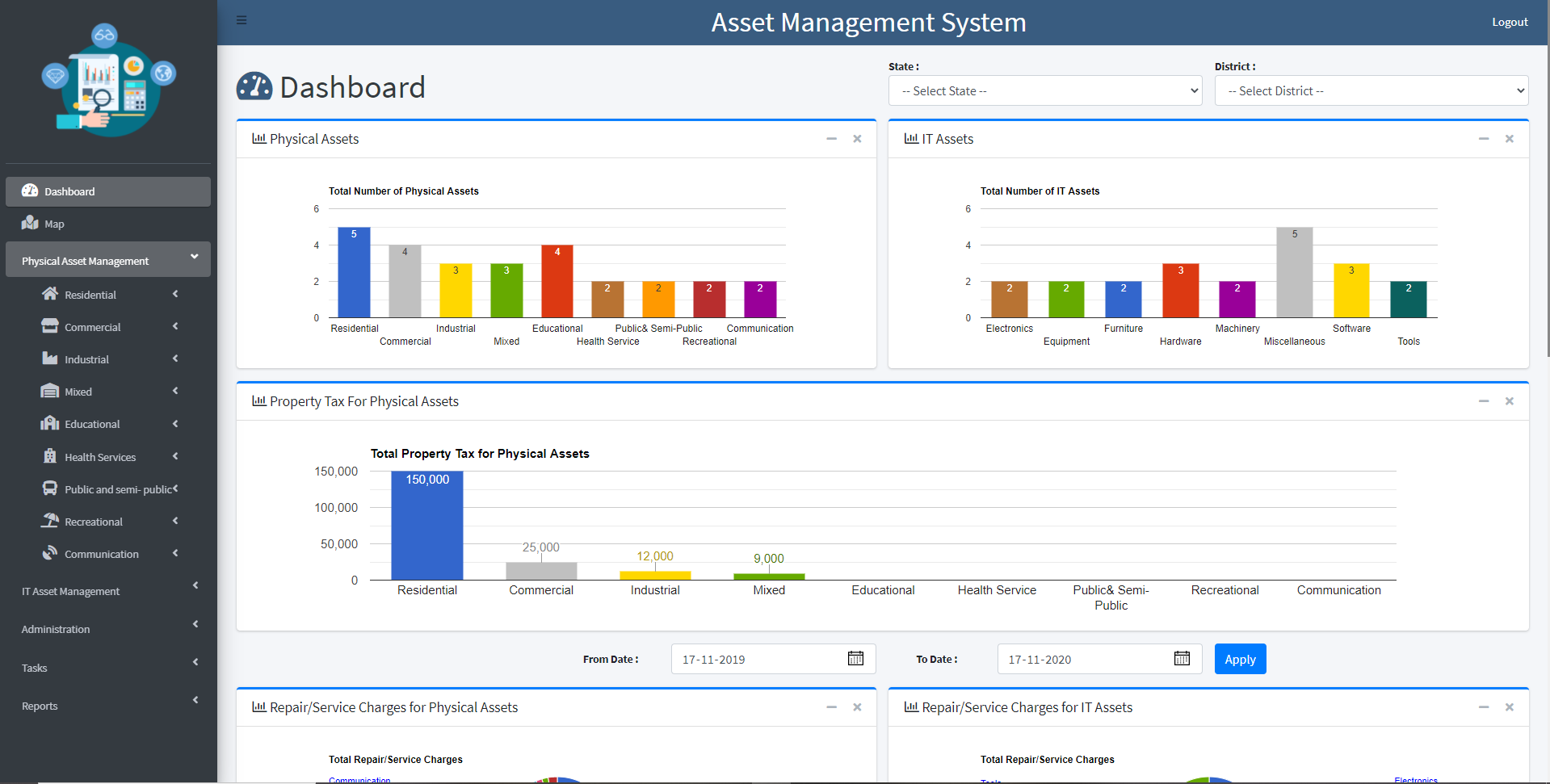
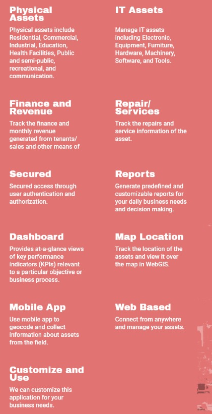
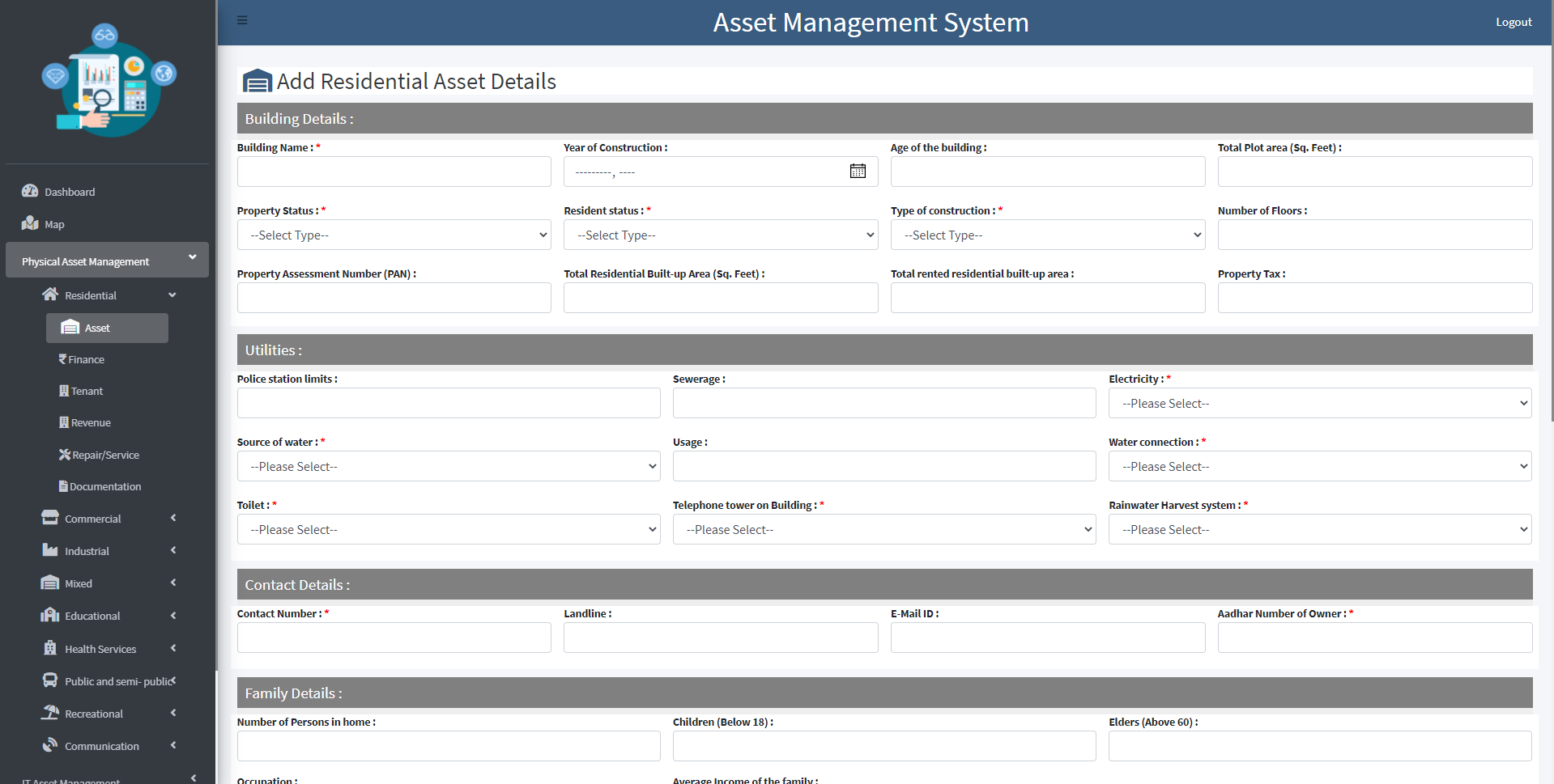
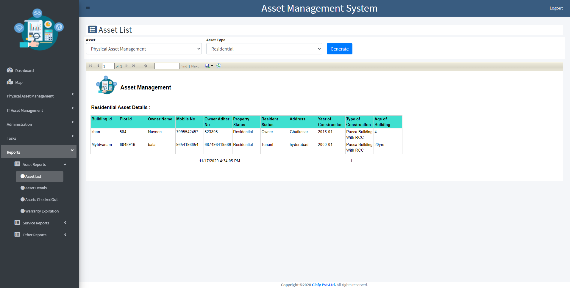
AMS Project
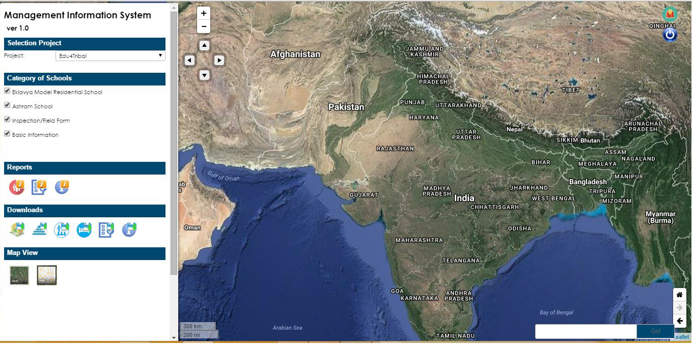
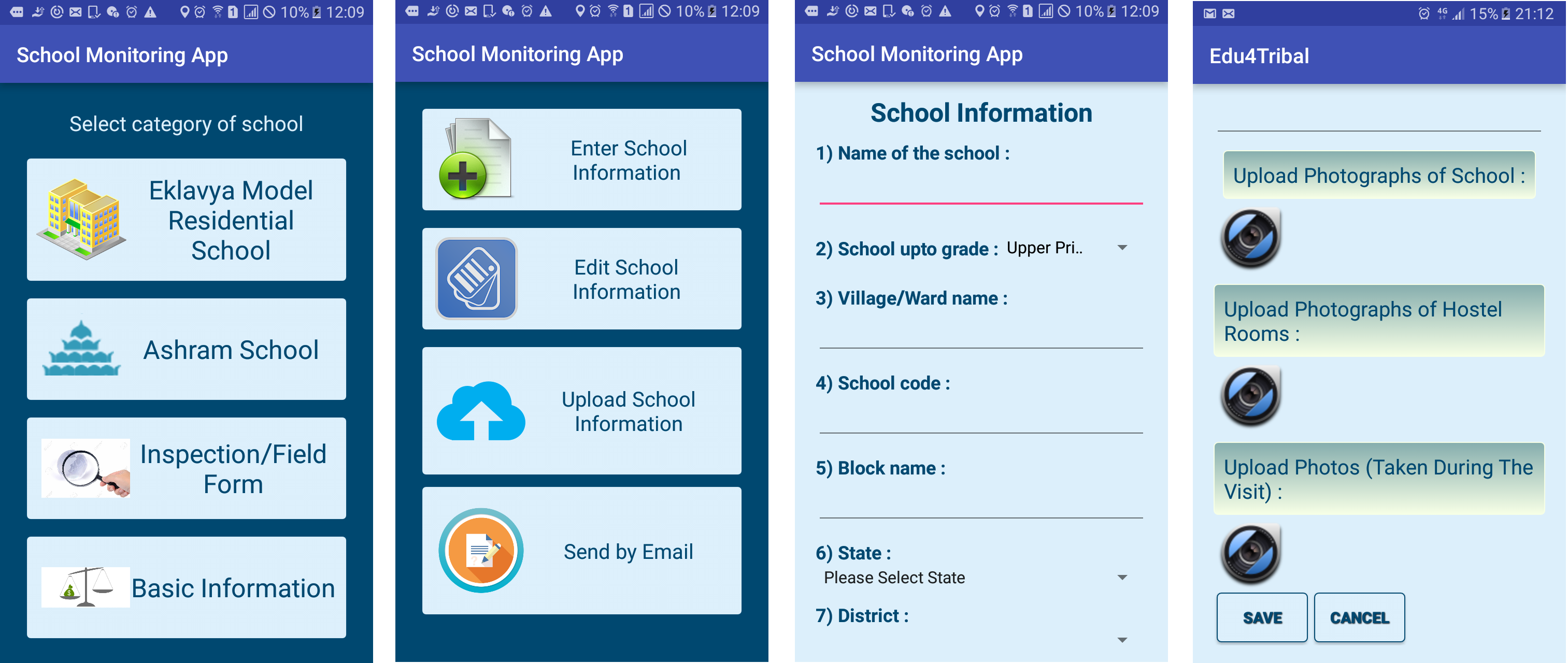
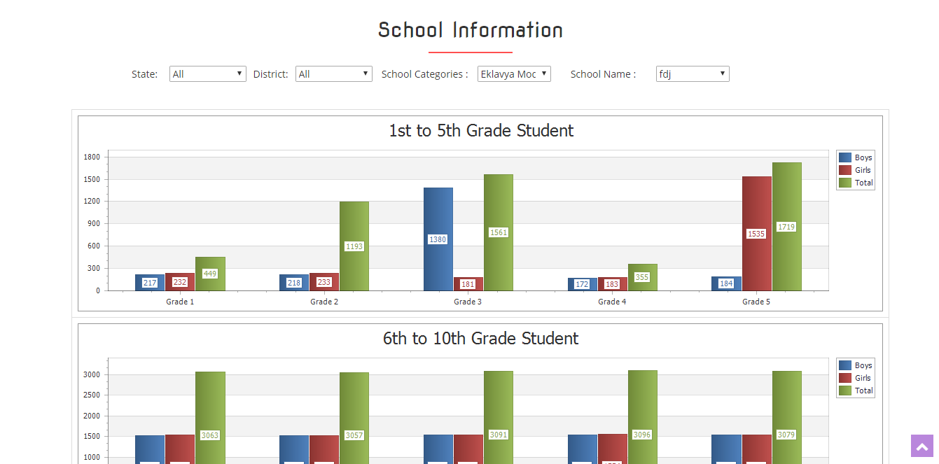
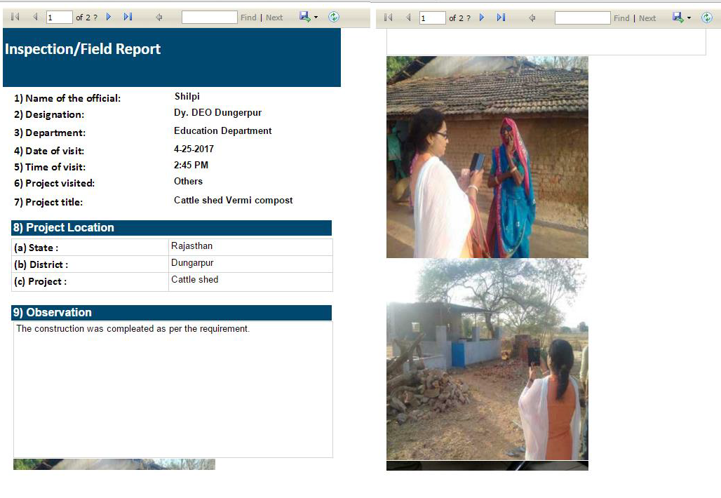
EMRS Project
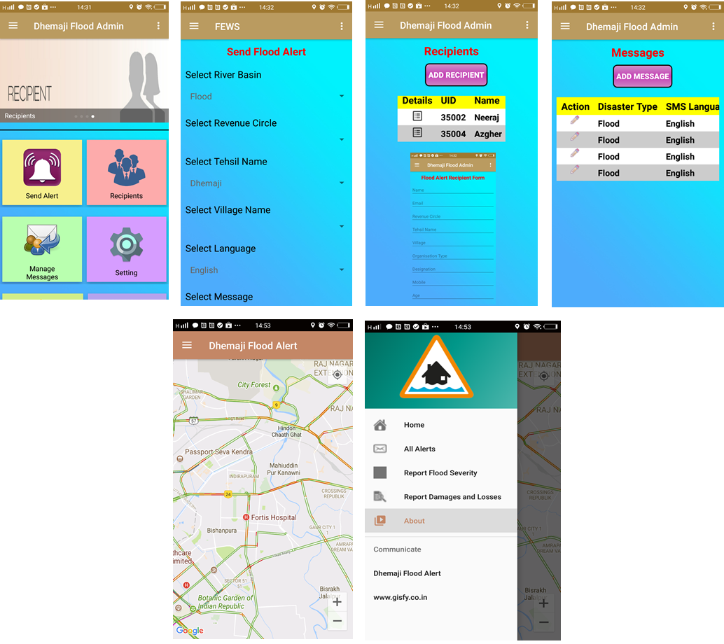
FEWS Project
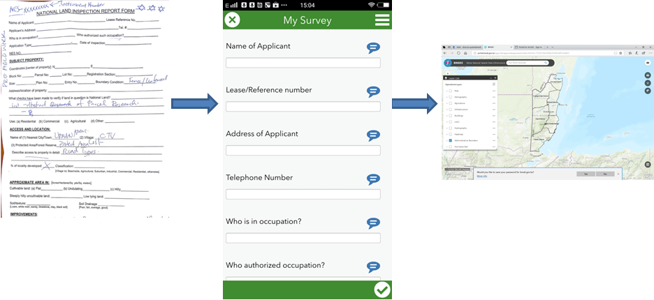
MasterPlan Survey Project
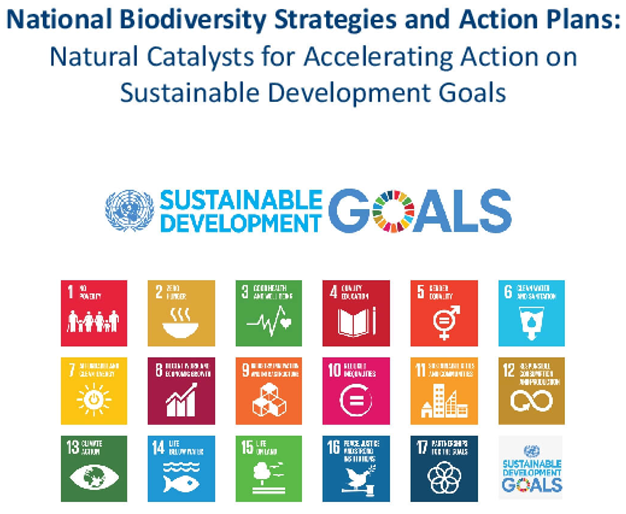
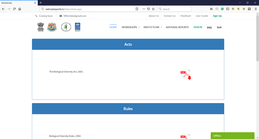
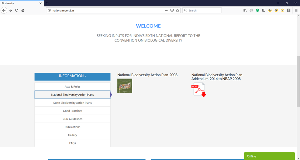
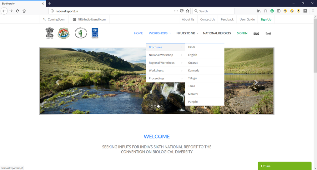
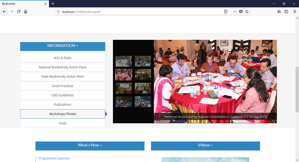
National Biodiversity Report Project
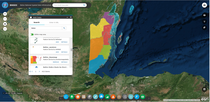
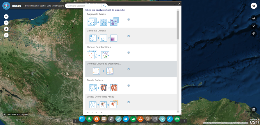
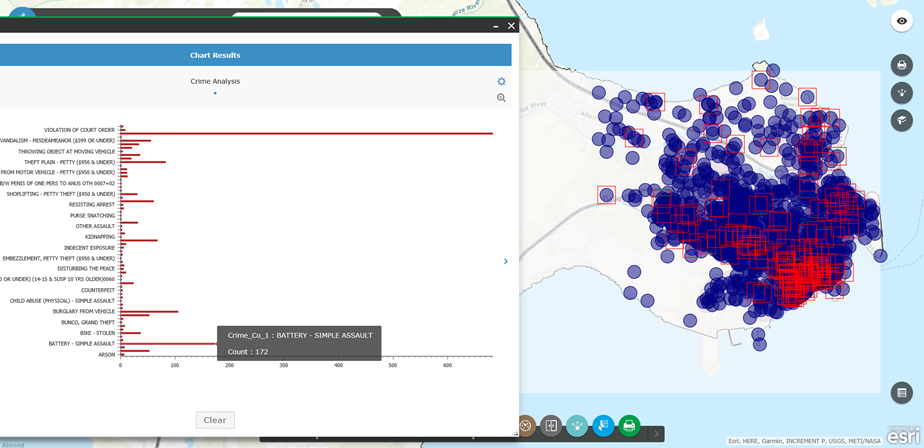
NSDI Project
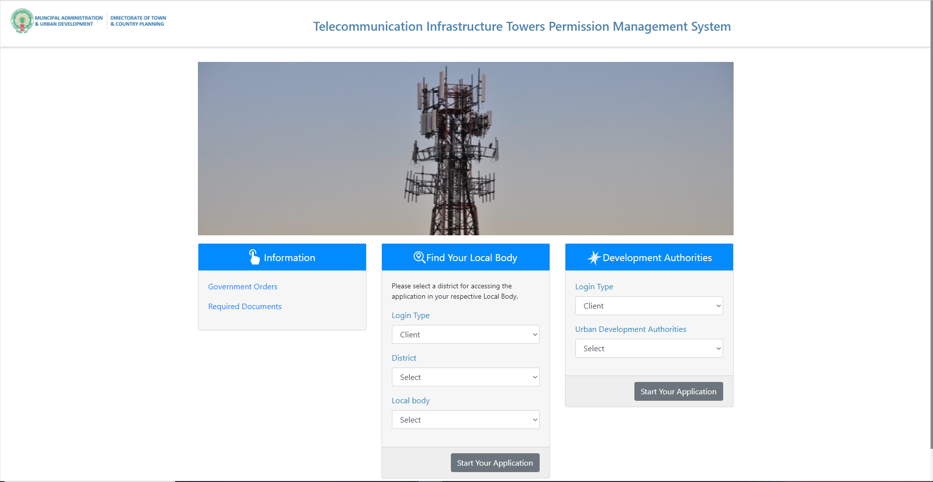
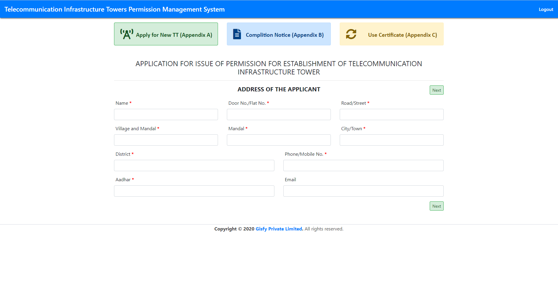
TTPMS Project
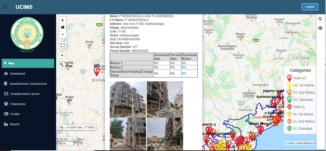
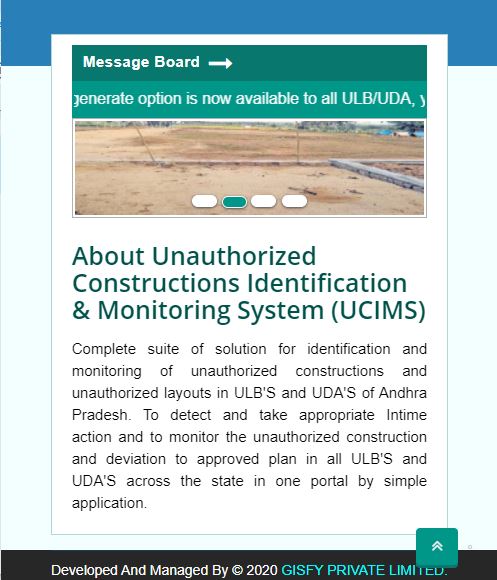
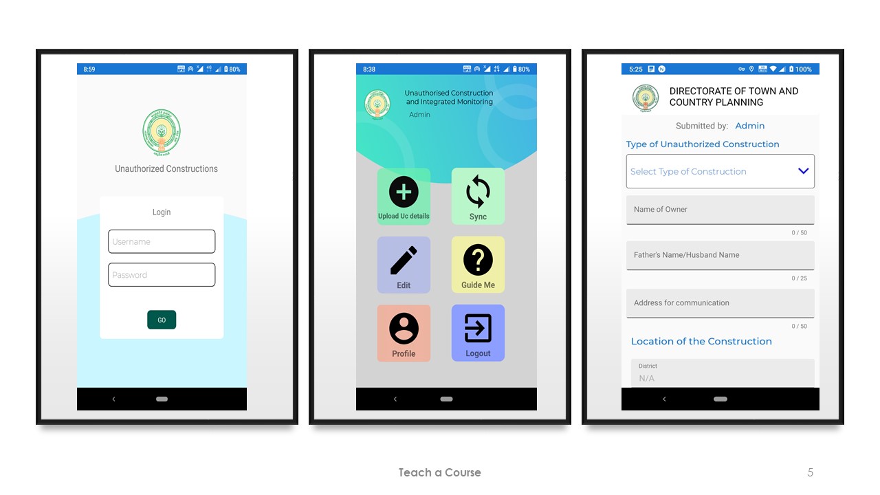
UCIMS Project

Urban asset inventory and maintainance conditions(UAIMC)

Green infrastructure and natural asset

Urban and regional digital twins

Climate change resilience monitoring