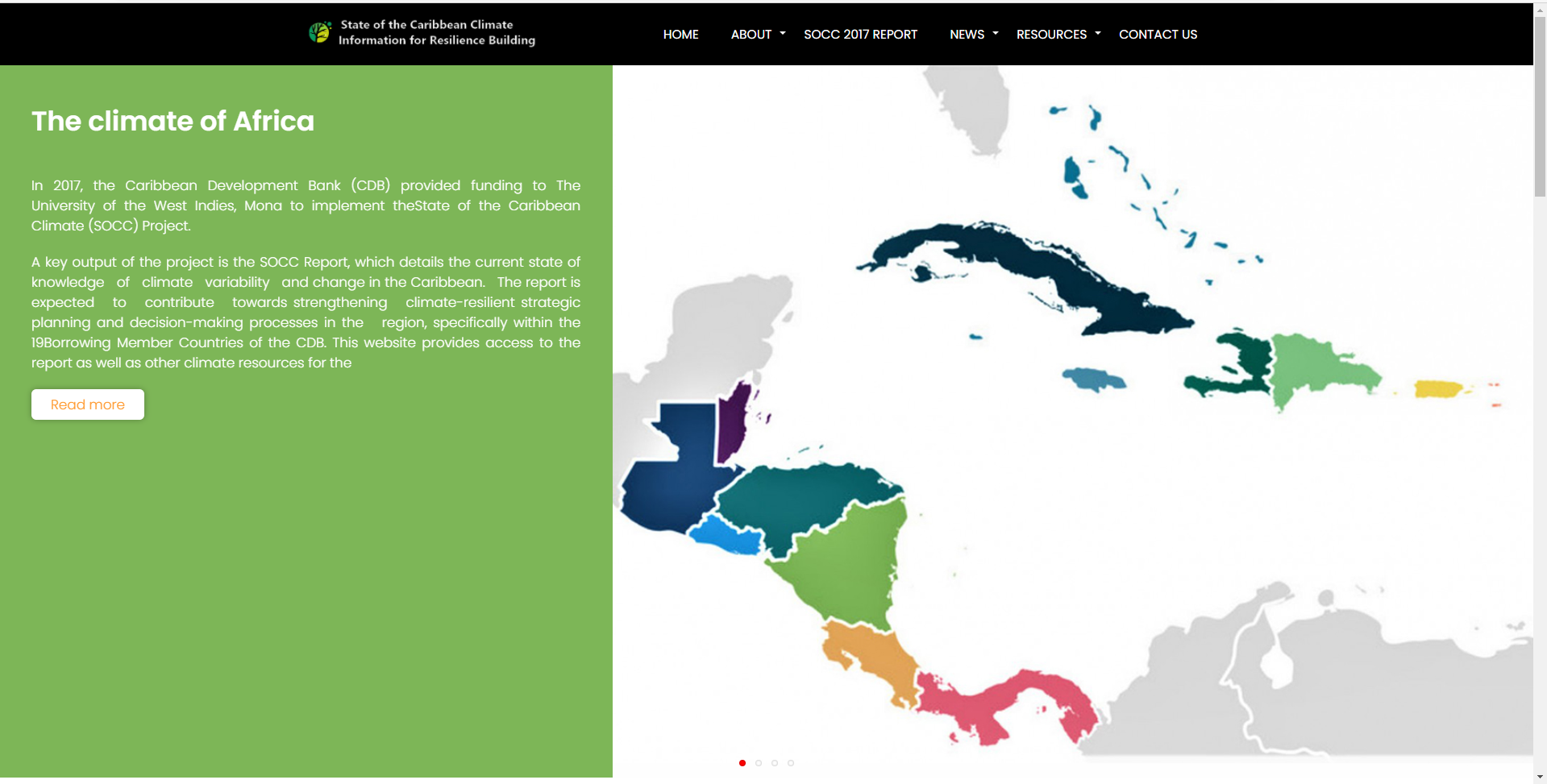
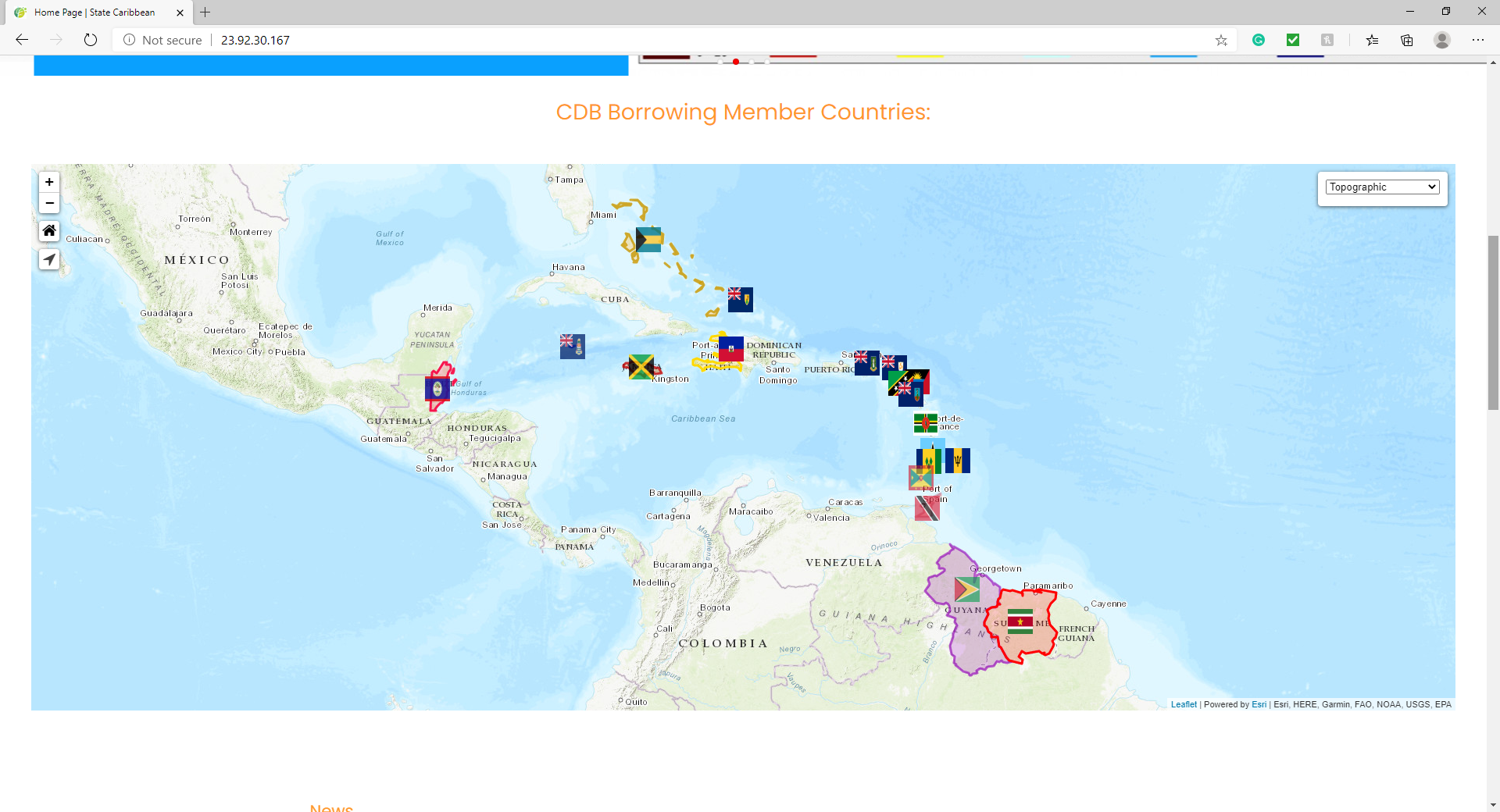
Environment and Climate Change
CCP Project

FSM Project
GeoSust Project
Geotagging Tree Project
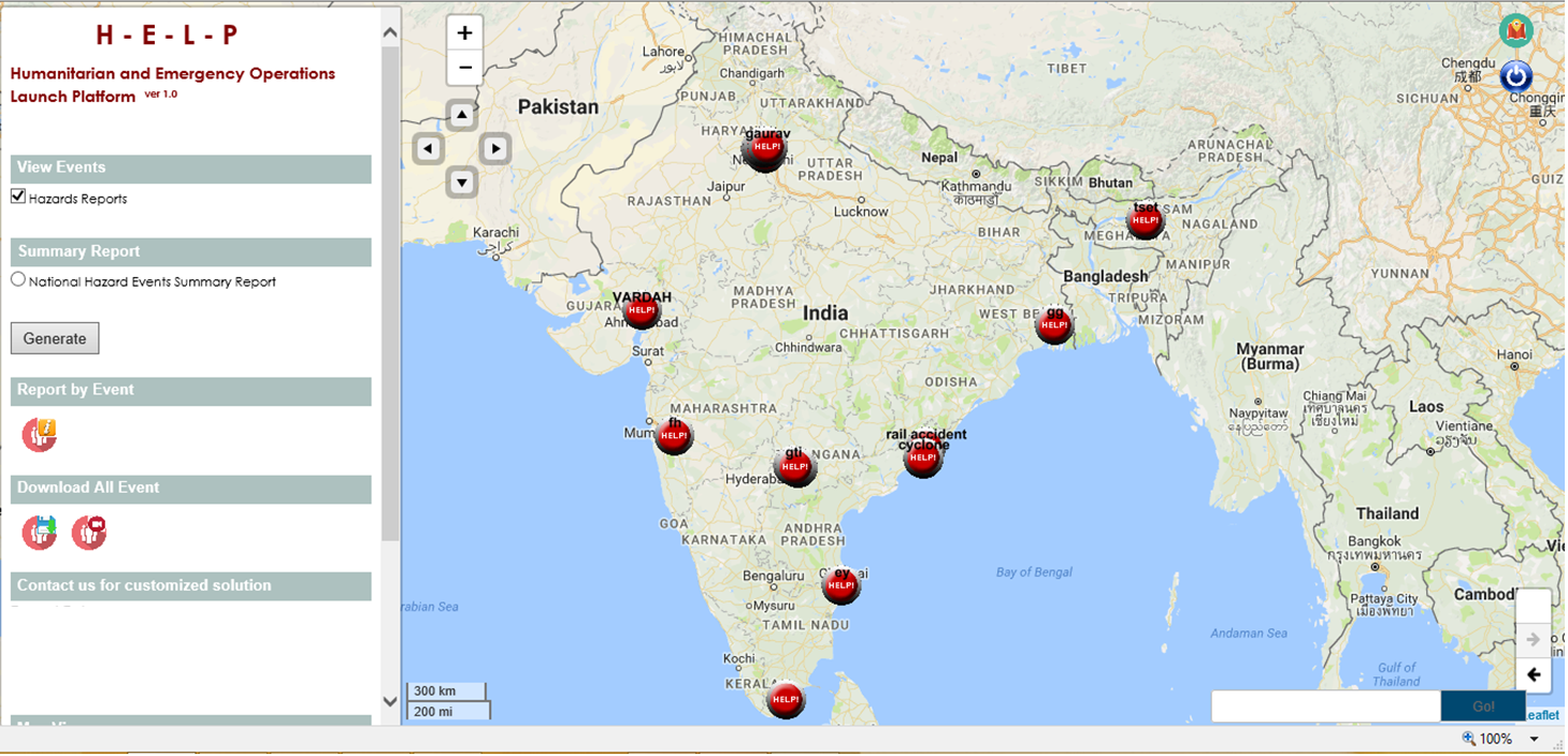
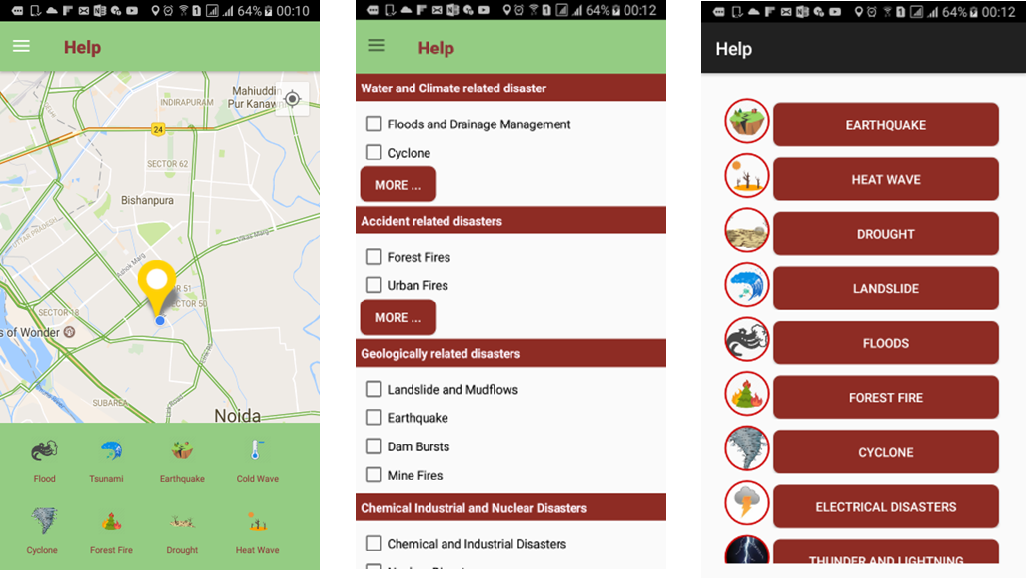
HELP Project
HEWS Project
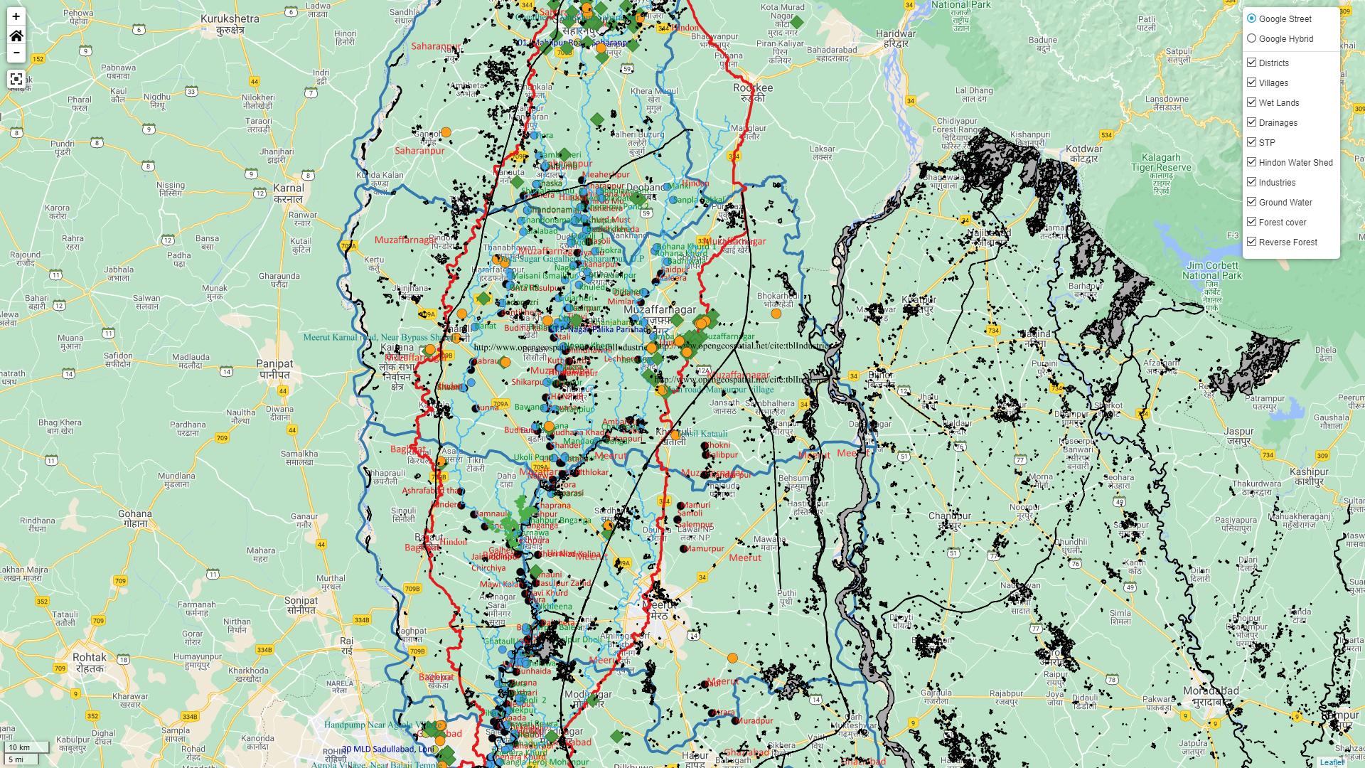
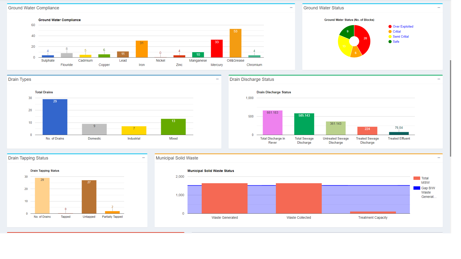
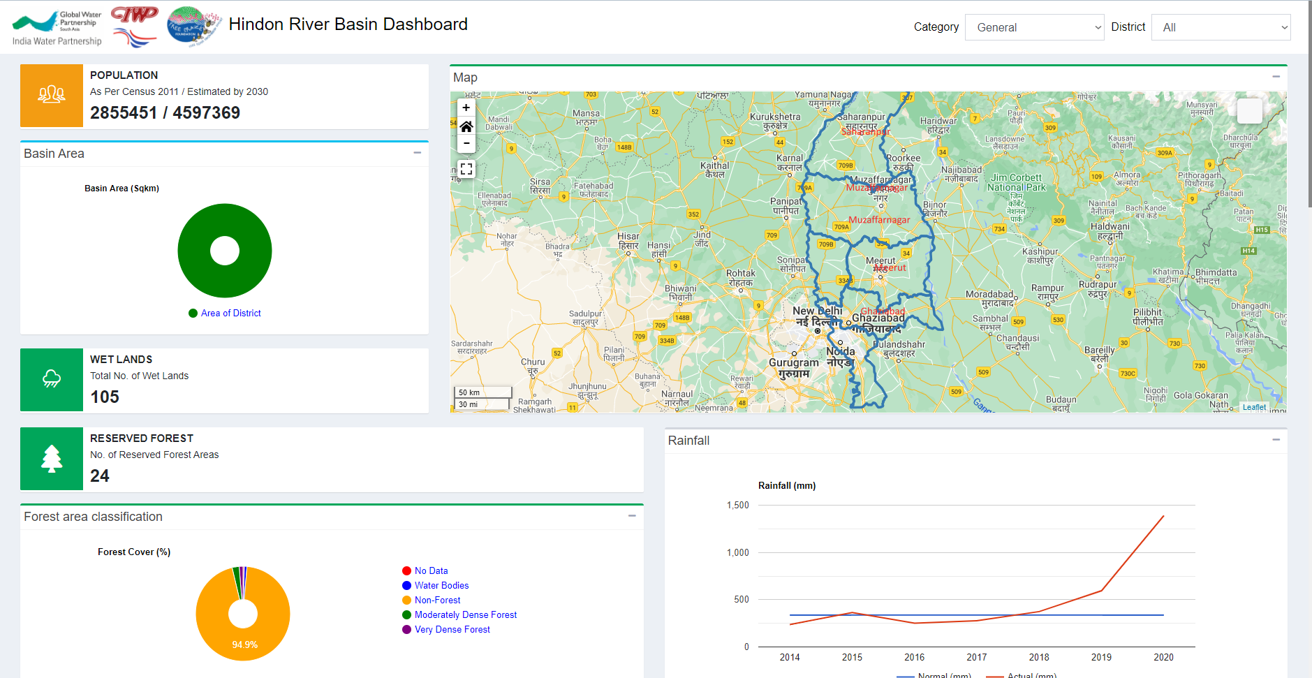
HRP MIS Project
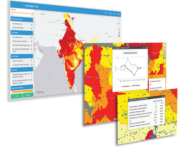
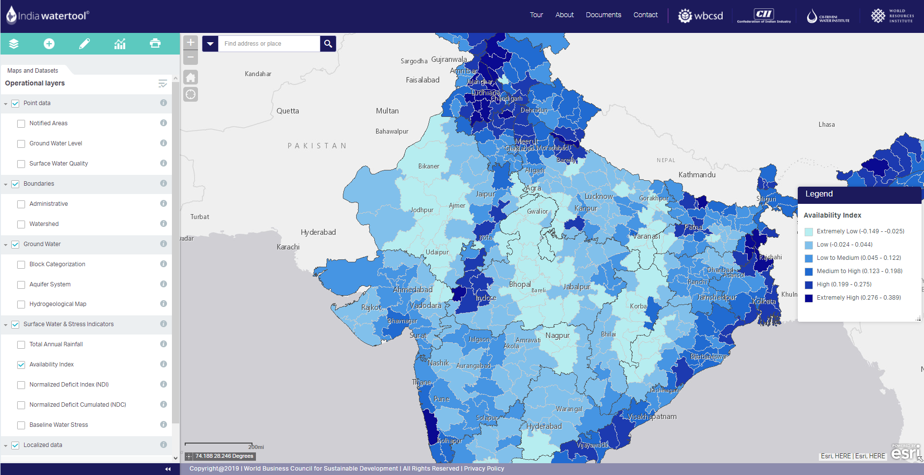
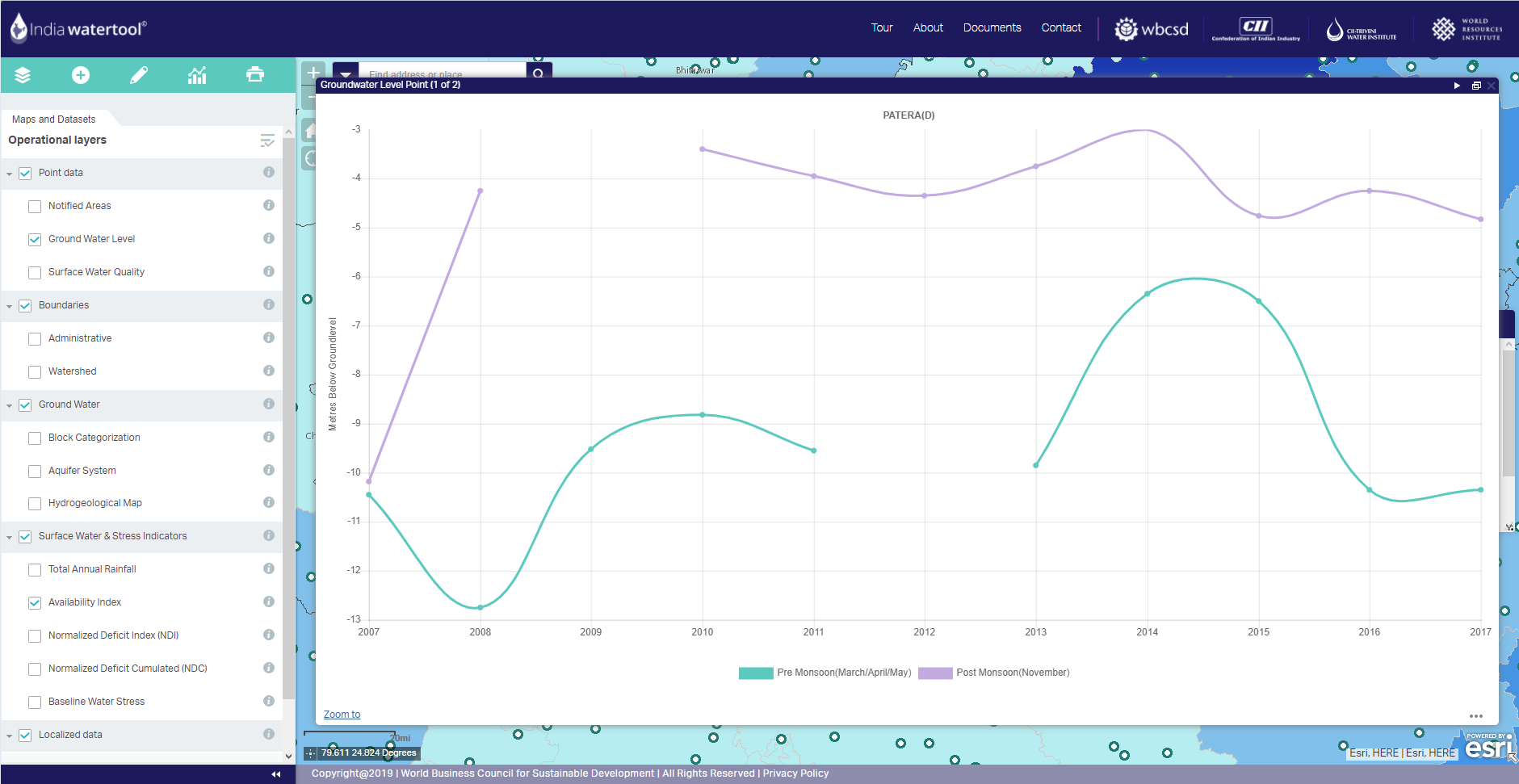
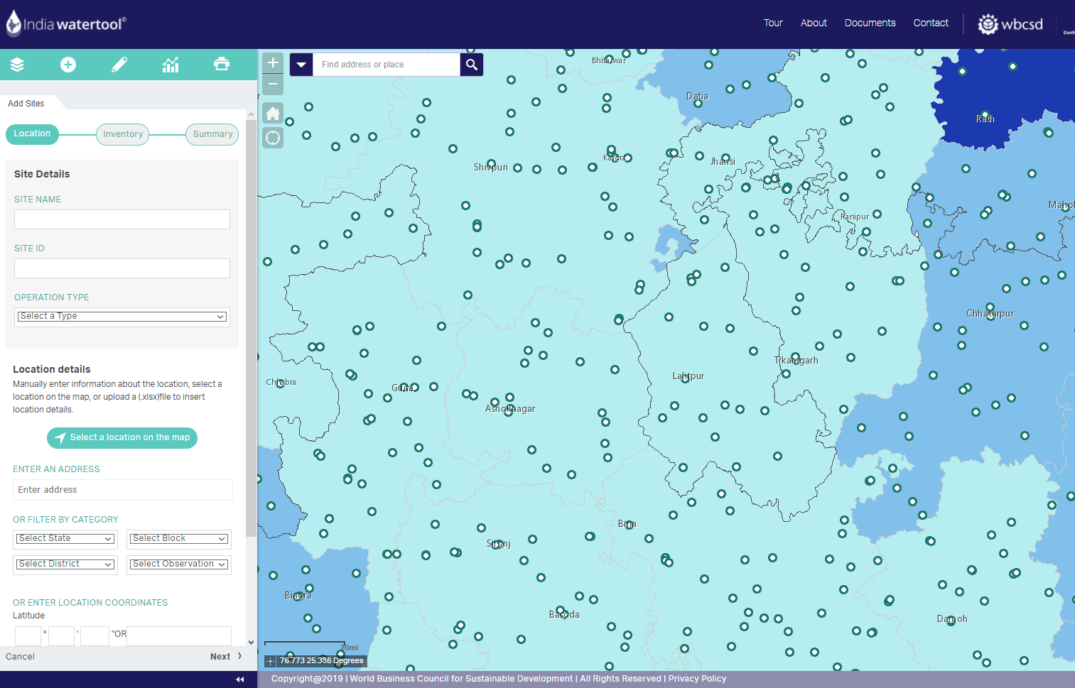
IWT Project
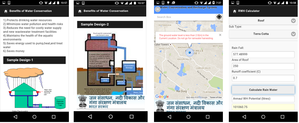
JalSanchayan Project
- Comprises all components of rainwater harvesting in single platform.
- It allows user to know from location conditions and interactive module enable user to calculate potential rainwater to be harvested in user’s location.
- In addition, it also provide schematic designs, benefits and operation and maintenance aspects.
- It also provide contact information of authorities, agencies, technical institutions and grass root community organizations working in the water sector.
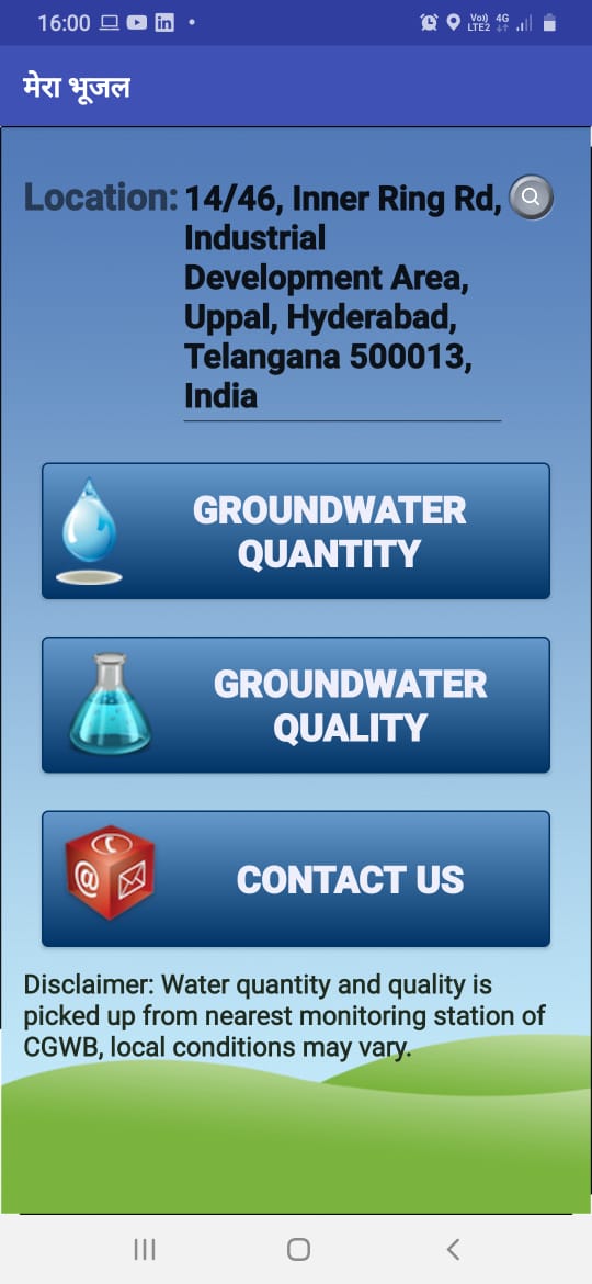
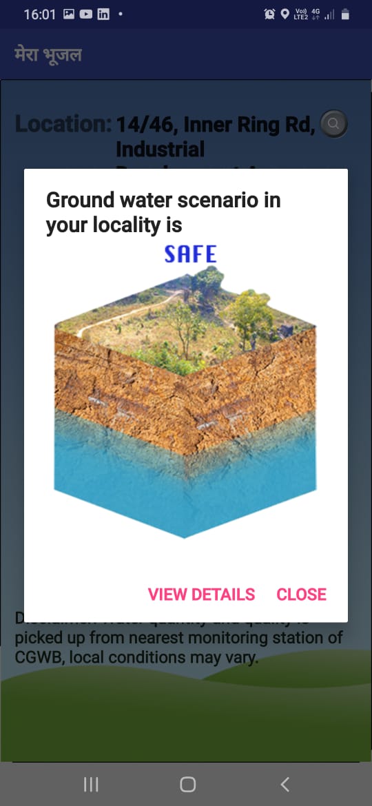
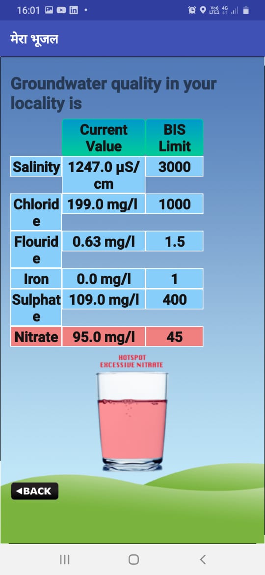
MeraBhujal Project
- Information available both in Hindi and English
- Provides ground water resources information for users current/desired location
- Information on annual ground water availability and withdrawal
- Stage of ground water withdrawal
- Indicates the withdrawal stages in colour coded format
- Suitable suggestions to augment the ground water
- Provide ground water quality information of user locality
- Suitable suggestions for sustainable utilization of ground water