GIS Application Development

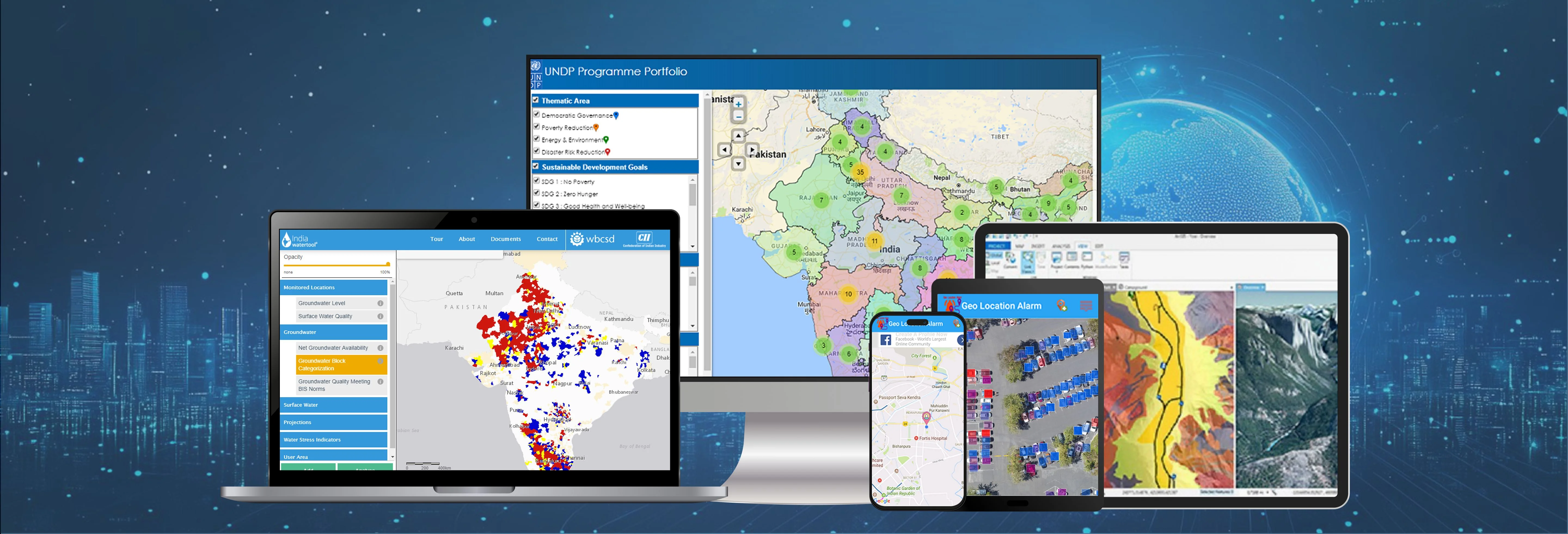
We are experting in developing following GIS Applications in both the opensource and ESRI platform.

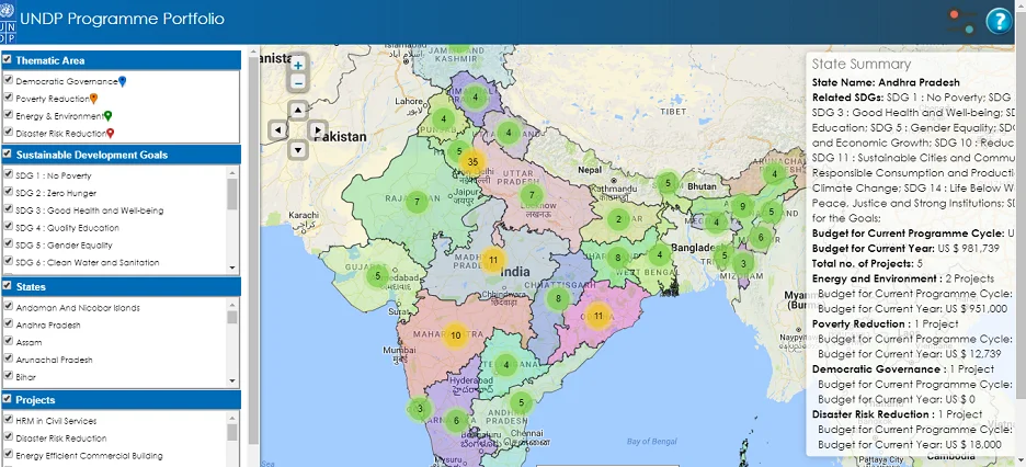
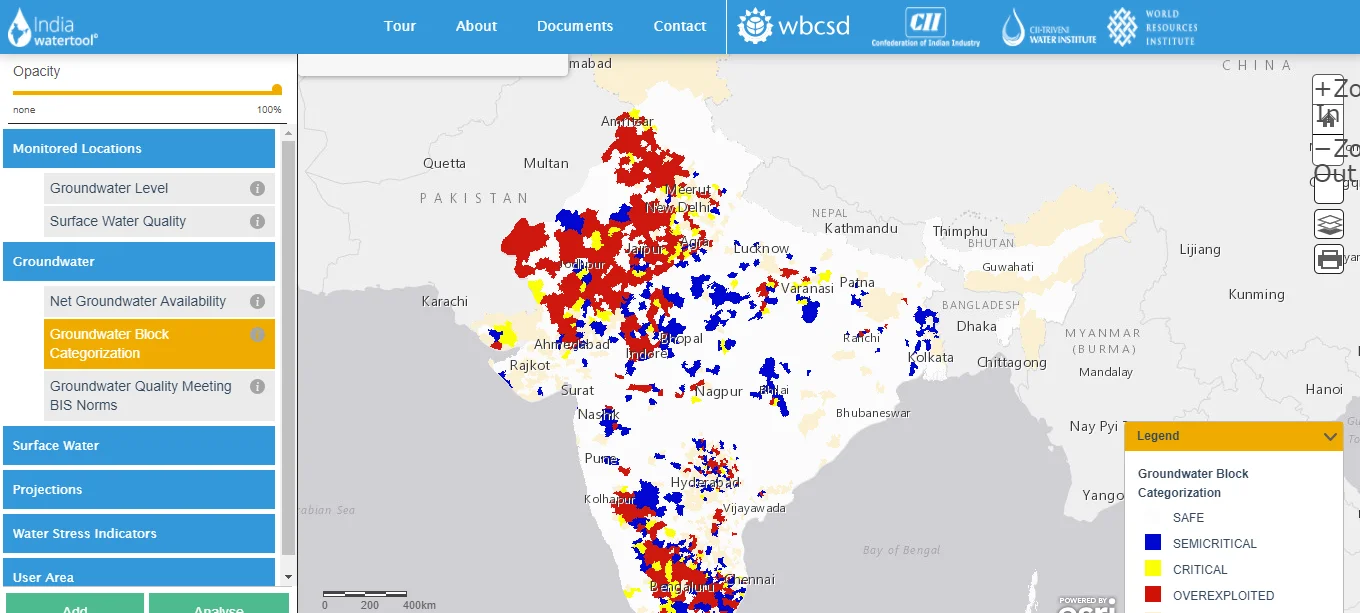
WebGIS: We can build WebGIS Solution with following features.

  • Supports Google map, Bing map, Yahoo maps and Open Street Map as base layer.
  • All common GIS functionality like PAN, Zoom In, Zoom Out, Info Tool is available in the application.
  • Supports data download in the form of Shapefile, Image, MS Excel, CSV, PDF and MS Word.
  • Data can be queried by attribute and geometry.
  • Allows user can also edit attribute and geometry.
  • Available in both the Open Source and ESRI technology based on preference of client.
  • Custom modules can be integrated based on your requirements.
Feature 1
Feature 2

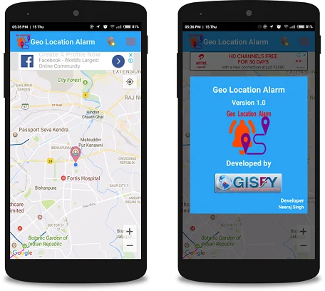
Mobile GIS: We can build MOBILE based GIS survey solutions with following features.

  • Supports Google map, Bing map, Yahoo maps and Open Street Map as base layer.
  • All common GIS functionality like PAN, Zoom In, Zoom Out, Info Tool is available in the application.
  • Supports data download in the form of Shapefile, Image, MS Excel, CSV, PDF and MS Word.
  • View current location navigate using GPS.
  • NO SIM required for Survey. Works in a location where there is no mobile network.
  • The survey can be done in both the offline and online mode.
  • Capture videos, photos while doing survey.
  • Chat with peers while doing the survey.
  • Integrated with WebGIS and Desktop GIS.
  • Download survey data.
  • Generate and download analysis report based on the survey data.
  • Authenticated and authorized secured access.
  • Data can be queried by attribute and geometry.
  • Allows user can also edit attribute and geometry.
  • Available in both the Open Source and ESRI technology based on preference of client.
  • Custom modules can be integrated based on your requirements.

Desktop GIS: We can build Desktop GIS Solution with following features.

  • Supports Google map, Bing map, Yahoo maps and Open Street Map as base layer.
  • All common GIS functionality like PAN, Zoom In, Zoom Out, Info Tool is available in the application.
  • Supports data download in the form of Shapefile, Image, MS Excel, CSV, PDF and MS Word.
  • Data can be queried by attribute and geometry.
  • Allows user can also edit attribute and geometry.
  • Available in both the Open Source and ESRI technology based on preference of client.
  • Custom modules can be integrated based on your requirements.
Feature 3

OUR PARTNERS

ESRI Microsoft ArcGIS Here